While hiking Dog Mountain a few weeks back a guy at the summit pointed across the river to Oregon to Mt. Defiance and told me it was the highest point in the Columbia River Gorge. That, in fact, the Mt. Defiance hike gained the same elevation as summiting Mt. Hood from Timberline. I knew immediately I had to do it! Biggest climb in the Gorge? Fuck yeah!
 I stole this map from the internet (and now can't find the source), but this is the route we did. We added a mile or two when we took a wrong turn near the logging roads at the southeast corner.

The trail begins at Starvation State Park and follows the freeway for a half mile or so. We decided to go up the Mt. Defiance Trail and then back down the Starvation Ridge loop.

We left the freeway and headed into the trees where we passed several waterfalls beginning with Cabin Creek Falls.

About 10 feet off the trail was this big mound landmark. At first I thought it was leaves or other debris piled there. Turned out to be a freakin huge anthill. Super cool! Gina for scale.

Hole-in-the-Wall Falls.

Passing under the power lines.

Lancaster Falls.

Peeling off some layers when we get up a few switchbacks.

Early view east.

View through the trees to the west.


More switchbacks.

Uh duh....

After switchbacking for awhile we flattened out for a mile or so in a cool dense Hemlock grove. The colors in this stretch were very flat with the low clouds.

Mile 3 from the trail junction. We ran into a Dad and his two kids having a snack here and talked them for a second. As we left I said "see you at the top!" About 20 minutes later they flew by us and then they passed us again on their way down before we reached the summit. They were cookin!

The trail gradually gets steeper as you go further through the Hemlocks.

Eventually the trees got shorter as we opened up to a view across talus and bare rock.

Very cool.

A view back down to Wind Mountain. Way the fuck above it!

Weather beaten trees.

Looking uphill we can see the radio tower peeking up from the summit.


Junction to the summit.

We chose to summit the longer easier way to the right and come back down the shorter trail.

Expansive meadows of rock.


There were a few awesome sections where the trail traversed sections of open rock.

A peak down at Bear Lake.

Working our way up to the summit.

A view of the valley up above Hood River. Somewhere in the clouds is Mt. Hood. We were never able to see it or any other Cascade volcano due to the low clouds.

Ice was falling loudly off the radio towers while we were at the summit.

Great view north.

Looking way down on Wind Mountain really gives a perspective of how high we climbed.

On the way back down we crossed the summit access road.

Cairns.

Dog Mountain.

We stopped at Warren Lake for lunch.

Still working on my dehydrated mac and cheese recipe. Before.

After. Fuck yeah!

Couple of stud heroes with our adventure beers!
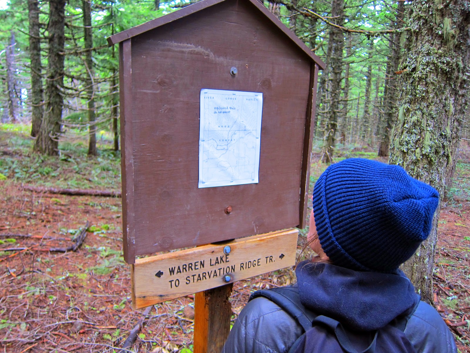
Despite the wood unambiguous sign at the bottom the laminated paper sign was a bit confusing.


We followed a short trail the led off the loop to an old logging road. If you see this gate and you're trying to do the loop you missed the turn!


Looking back to the summit of Mt. Defiance.


Another bad ass rock section. We saw a guy here really huffing and puffing on his way up.

Super bad ass old growth fir.

Found the top of Starvation Ridge. Love these trails that follow ridge tops.

Great fucking view!


The section of trail that winds its way down the ridge pops out at the power lines. It's a super cool spot with great views both east and west. I would recommend this for a shorter hike. A great spot to stop and have lunch.

A view east.

A view down the hill.

A view west.


The trail is steep with sharp switchbacks.

There's a spot in the cliffs where you can look down almost vertically to the traffic below on I-84.

The red dot is our car! Don't slip...


Walking back along the freeway as the sun lowers to the west. What a great fucking hike. Highly recommended!